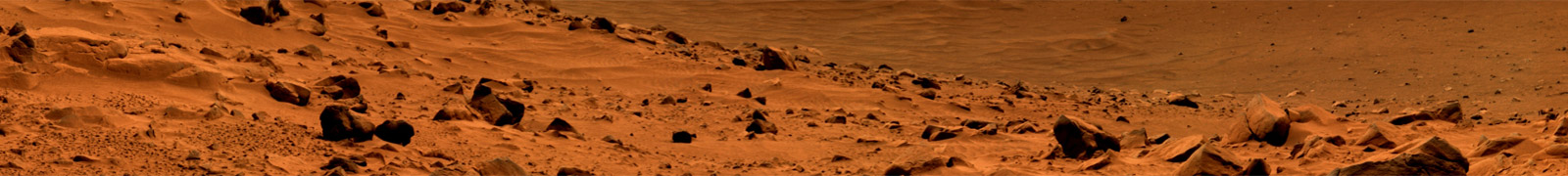
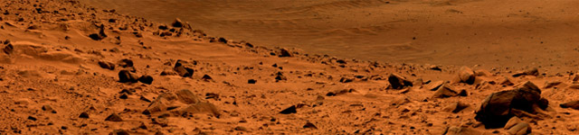
Mars' Subsurface

The polar ice deposits of Mars represent an intriguing record of past climate conditions. Using data from the Mars Advanced Radar for Subsurface and Ionospheric Sounding (MARSIS) on the Mars Express orbiter as well as the Shallow Radar (SHARAD) on the Mars Reconnaissance Orbiter (MRO) it is possible to investigate the layers within and beneath the ice sheets. In one recent study, SHARAD observations of the North Polar Layered Deposits were used to measure the composition of individual dusty ice layers. Those layers turned out to be dustier than previously assumed, which could mean that the global climate conditions controlling water ice and dust deposition have varied in unexpected ways in the recent past. This work is currently being expanded upon using new high-resolution SHARAD radargrams processed with advanced algorithms in an effort to create the first global climate record for Mars.
Other recent results include an investigation of bright MARSIS reflections below the South Polar Layered Deposits. Originally, these reflections were interpreted as evidence of liquid water. However, that interpretation was inconsistent with the temperature and topography below the ice. New simulations show that constructive interference from thin layers of CO2 ice, basaltic dust, or clays can create similar radar reflections, and such layers should be relatively common below the ice sheet. These new results provide an alternative explanation for the bright MARSIS reflections that does not invoke the presence of liquid water or other exotic conditions. Currently, this work is being expanded to explore other materials and other locations both within and below the polar deposits.
Recent Publications
Lalich, D. E., Holt, J. W., & Smith, I. B. (2019). Radar Reflectivity as a Proxy for the Dust Content of Individual Layers in the Martian North Polar Layered Deposits. Journal of Geophysical Research: Planets, 124(7), 1690–1703. https://doi.org/10.1029/2018JE005787
Lalich, D. E., Hayes, A. G., & Poggiali, V. (2021). Explaining Bright Radar Reflections Below The Martian South Polar Layered Deposits Without Liquid Water. ArXiv:2107.03497 [Astro-Ph, Physics:Physics]. Retrieved from http://arxiv.org/abs/2107.03497
Smith, I. B., Lalich, D. E., Rezza, C., Horgan, B. H. N., Whitten, J. L., Nerozzi, S., & Holt, J. W. (2021). A Solid Interpretation of Bright Radar Reflectors Under the Mars South Polar Ice. Geophysical Research Letters, 48(15), e2021GL093618. https://doi.org/10.1029/2021GL093618

A) SHARAD radargram FPA_1716901000, showing the full extent of the NPLD. B) Enlarged view of boxed region from A showing the three reflectors mapped for this study. C) MOLA colorized elevation context map showing the ground track of the above radargram (black line) and lateral extent of the study area (white box).

Schematic diagrams of the three scenarios simulated for this study. Simulations were run both with and without the surface CO2 ice for each scenario. Note that layers are not to scale.
 and simulated (pink, cyan) MARSIS echoes")
Comparison between an observed (black) and simulated (pink, cyan) MARSIS echoes. The observed echo is from the bright region, orbit number 10737, and was collected using the 4 MHz center frequency mode. The simulation that produced the pink echo included two CO2 layers separated by a dusty ice layer at the base of the SPLD (rightmost column of figure 1), and also used a 4 MHz center frequency. All three subsurface layers were 12 m thick. The second simulation (cyan dashed line) represents the “wet based” scenario proposed by Orosei et al. [2018] and included no subsurface layering (leftmost column of figure 1). A basal permittivity consistent with that of a brine was used for the bottom half-space.